New LiDAR Project
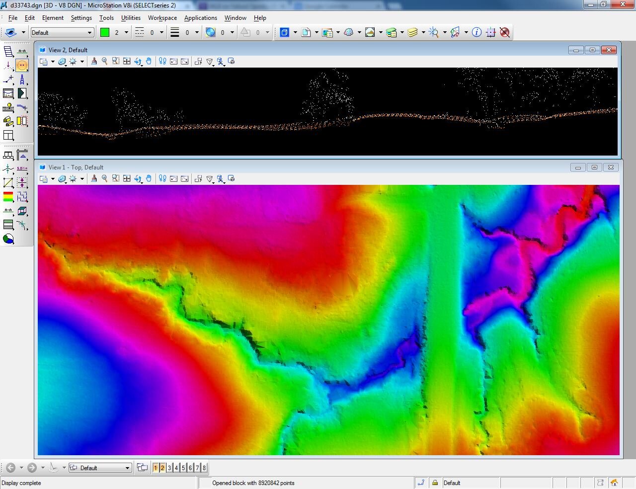
Half way done tonight with our 5 week LiDAR classification/cleanup project for the Arkansas Department of Fish and Wildlife. The screenshot below is a 1 mile by 1 mile tile that includes over 8 million points. Airborne LiDAR uses an aircraft equipped with a laser scanner to image the earth's surface. It doesn't take color pictures, but takes a snapshot of the earth's elevation. So the below tile includes a creek running through a culvert under a road. The creek is the lowest elevation and is represented by a magenta color. The road is the highest elevation and is represented by a green color. I enjoy working with LiDAR and the tools you can produce from the data. It just takes forever to process, classify, and clean up.
