
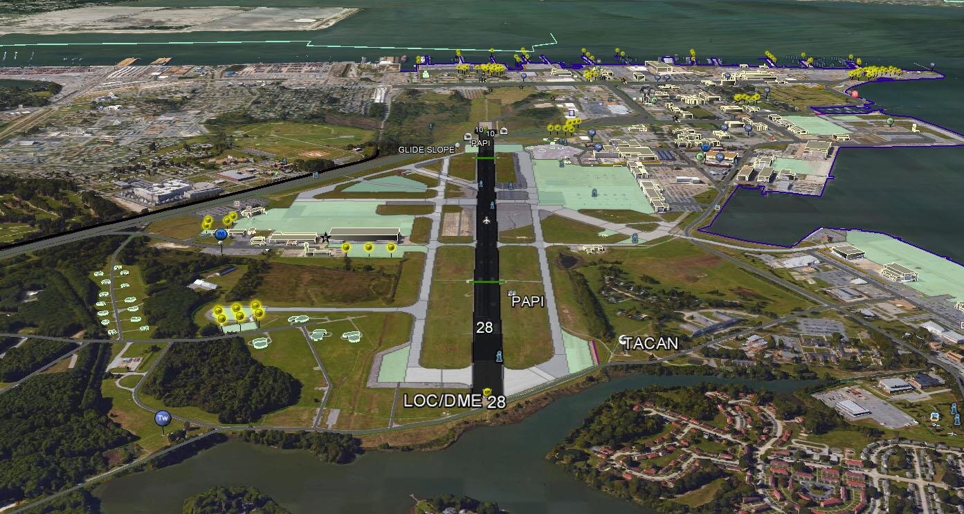
VerticalGeo is one of the few companies that can extract airfield features from stereo imagery to create 3-D airfield maps. We use a system that includes BAE’s Socet GXP to create 3-D features.
3-D Airfield Products
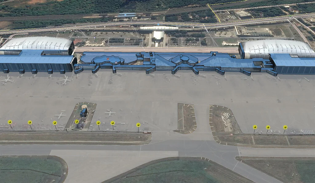
We have been producing 3-D airfield maps for the past several years and have collected 58 airfields all across the globe. We provide deliverable products in shapefile, ESRI file geodatabase, or Google Earth (KML) formats. The image to the right is a 3-D passenger terminal we collected for a large international airport.
Vertical Obstructions

VerticalGeo has been tasked to produce a vertical obstruction dataset that includes power-related and cultural data layers using satellite imagery to identify and extract vertical obstructions all over the globe. VerticalGeo has identified and collected information of over 2 million previously unknown vertical obstructions since 2015.
The red dots on the adjacent screenshot represent powerline pylons and the blue dots represent light standards. Every dot on the map represents an obstacle that is taller than 50 feet.
We have finished updates of the vertical obstruction database in the following areas:
– Northeast US – Hawaii
– Libya – Morocco
– Algeria – Tunisia
– Indonesia – Thailand
– Bolivia – Paraguay
– Mozambique – Malawi
– China – India
Data Quality Matters
Identifying vertical obstructions improves the safety of flight for our DoD and civilian aircrews as they transit numerous countries across the globe. We use a proprietary process to determine the location and height of each vertical obstruction, assuring accuracy and quality of the data we create. If these remain unidentified they create a substantial risk to our aircrews.