Using QGIS to Collect and Map Road Networks in the Caribbean
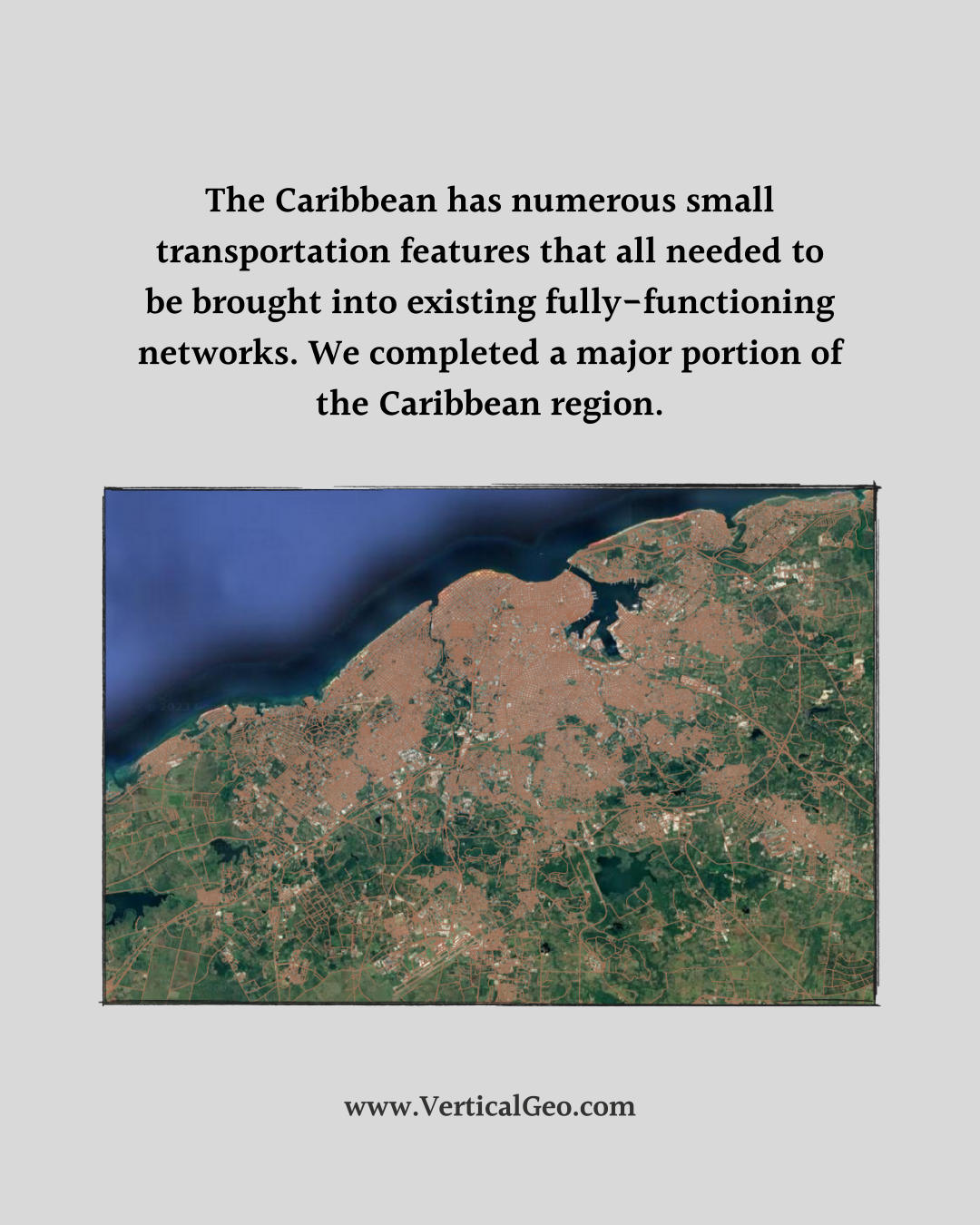
This is a project we worked on a couple of summers ago. We decided to use this project as a training program for our company to learn how do large scale data collection and mapping using open source and free QGIS software. We believe we did our best quality work and produced the road network faster using open source QGIS than we could have with our more expensive ESRI ArcMap software.
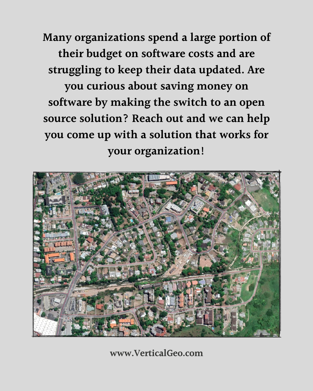
Rather than spending all of your budget on expensive GIS software we highly encourage you to try out QGIS to see if your organization could benefit from using open-source software and investing the money you save into collecting and maintaining top quality data. Not sure where to start? Send us a message and we can help you with a solution that works for your organization. Invest in data, not software!