Aerial Mapping Solutions
We are a small business specializing in the creation and integration of geographic information.
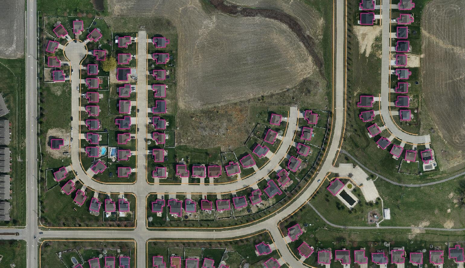
VerticalGeo has been providing 2-D and 3-D mapping, vertical obstruction identification and assessment, and geospatial data integration for the Department of Defense since 2006. We have a young, but talented team of GIS Professionals and Photogrammetrists, and use advanced technologies to provide practical, cost-effective, and long-term geospatial solutions.
VerticalGeo’s office is located in O’Fallon, Illinois, only a short 20 minute drive from downtown St. Louis, Missouri. We are registered with the Small Business Administration, and the System for Award Management (SAM).
